Day 17 – Somerset Levels
Well first off some fantastic news: we received a call from the police yesterday evening to say that my phone had been handed in, they couldn’t tell me who but they will pass on my thanks! I can’t believe it; such a lovely person – I honestly thought and had more or less accepted the phone was gone for good. So pleased I’ll have it back soon as it had all my GPS routes on it.
Boosted by that good news, I headed out onto the busy roads (as everyone left the nearby Glastonbury festival site at Pilton), and managed to negotiate the pin tacks that Frank Saunders had left on the Somerset roads. Heading west to Bridgewater, the sun was out and I had the wind behind me; the roads were fast and flat and before I knew it I was in Taunton. The deluges of the past few days have become a faded memory!
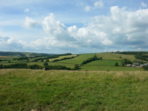
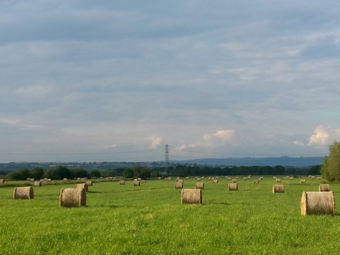
Back in January and February 2014, much of the area of the Somerset Levels was badly affected by flooding, with some villages cut off for over a month. It is easy to see how it happened, with the flat and expansive area lying low beneath the Mendips and Blackdowns.
After a brief stop for lunch in Taunton, it was up and into the foothills of Exmoor National Park. It was tough going, however mostly on quiet B roads, and so this gave some welcome relief from the heavy traffic of the morning.
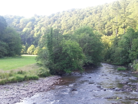
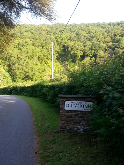
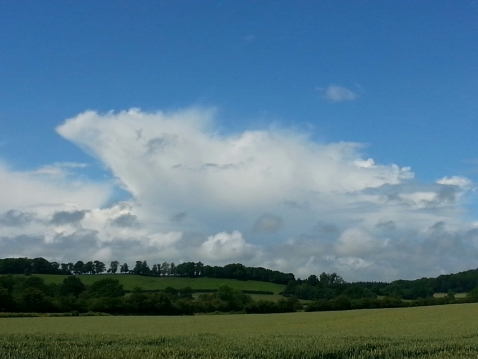
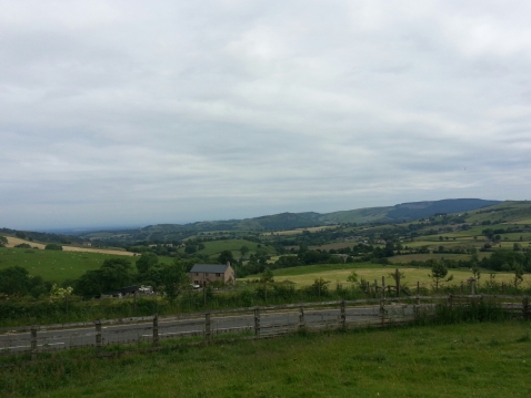
As I entered Exmoor National Park the scenery suddenly became really beautiful; I soon arrived in Dulverton and was blown away by how stunning the place is. It sits within a steep sided valley that winds its way into the moors. After 97 km my legs needed a well earnt rest and I was so pleased to arrive in such a scenic and welcoming place. Here is the view from just outside the pub I’m currently writing this from:
Tomorrow: I say goodbye to my antepenultimate county of the tour, Somerset. I then say hello to Devon and loads more hills. Hurrah.
Day 16 – Glastonbury
Hello blog readers, not long to go now – I can sense the end getting near! Anyway today dawned sunny over Monmouth and the surrounding hills, which I took as a good omen. After porridge and honey, I was all set to tackle the most challenging climb of the day, out of Monmouth and into the hills of Monmouthshire that surround Chepstow. After a gruelling 10 km, I finally made the peak.
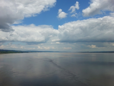
There was a brief plateau, before the road wound around a few steep valleys and then descended at pace. Out of the trees, suddenly the two magnificent Severn bridges appeared far below, an awesome view. Within minutes I was racing down into Chepstow and past the racecourse. I then made it onto the M48, (the old Severn bridge) and onto the specially created cycle path. There were many cyclists, most of them heading the other way and starting out with bags of enthusiasm. The views from the bridge were pretty impressive.
I then (after less than a day in Wales) made my way back into England, and the county of Somerset. The route took me through Avonmouth and Portishead, and then routed south into the flatlands of the Somerset Levels. It wasn’t all flat however, around Cheddar Gorge the road ascends and winds, and there were some ridges to negotiate before running down into Glastonbury (my stay for tonight) after a 110 km ride.
It is so nice after all this time to have long, straight and flat roads to ride – reminded me of cycling in Lincolnshire.
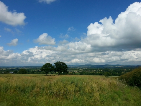
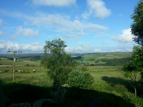
It is a bit of a coincidence that my stay in Glastonbury ties in with the final night of the festival, where Kasabian are headlining. I am currently watching Bombay Bicycle Club and the Black Keys. Oh and the view outside looks like this:
Day 15 – The Malvern Hills and The Forest of Dean
The weather was fairly poor once again – at least during the morning, and I was slightly caught out in the Malvern Hills within a big thunderstorm and had to shelter in a BT red phonebox! Oh the indignity!
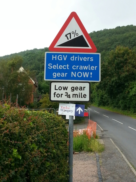
As if that wasn’t bad enough I was then confronted by this sign post:
Fortunately once the Malvern hills had been negotiated, it was a fairly rolling and fast route through to Ross-on-Wye (via a dual carriageway off the M50 which was a little bit scary to say the least!) and the start of the final big ascent of the day.
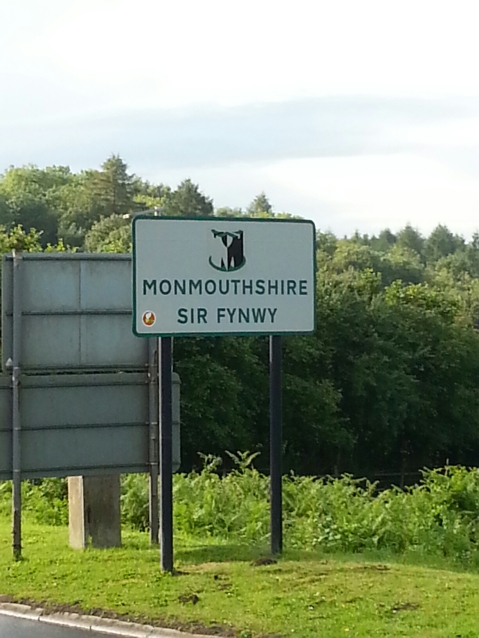
The weather improved dramatically at this point, and I then entered the Forest of Dean at Symonds Yat Rock. The road goes up and up, for what feels like forever, and into Gloucestershire and then eventually across into the third country of my tour. Yes tonight I am in Wales, staying just inside the border at Monmouth.
Today’s distance: 105 km
Funniest place name: Hole-in-the-wall
Today’s weather. Well, nice weather for ducks…
Day 14 – The chase is on!
Well firstly: apologies for leaving a dramatic pause after the thunderstorm post yesterday. To cut a long story short I managed to lose my phone, fortunately AJ has very kindly lent me his to use (and blog to you this evening) until I get it back. So you get 2 blog posts in one evening – joy of joys.
Day 14 took me into the West Midlands, though I opted to by-pass Birmingham itself and instead head down the western outskirts. The weather started poor with incessant drizzle and low stratus, and just got worse from there on in. Then, by way of cruel revenge for all the storm chasing I have done (both at work and for fun in America), the thunderstorms decided to chase me!
Fortunately I was using a rival competitor’s far superior rainfall radar app (I can’t name them, but they rhyme with wet-eo-troop) and was able to hot foot it to a Papa Johns and sit out the worst of it. I stepped inside just as the first bolt of lightning lit up the sky.
Further thunderstorms were however unavoidable, and the day of soaking eventually ended after 95 km on Stourport-on-Severn, and a visit from my parents (to tell me to get a move on).
Thunderstorm
Pretty intense thunderstorm rumbling through the West Midlands right now, so have decided to take a break and have some lunch!
Day 13 – Staffordshire Moorlands
The thirteenth day in the saddle started with a climb into the Staffordshire Moorlands, unfortunately there was also an evil 10-15 KT headwind which sapped the energy from me immediately. Though less known than the Peak District, the region still ‘enjoys’ the same level of ascents and descents, and offers some spectacular views.
After descending into Leek, it was a straightforward ride down into Stone and then into Stafford on some rather busy roads. The weather was mostly overcast and dry, though there was some refreshing light rain pelting my face around the Stone area. Worse to come tomorrow I guess. Oh well only another 800 km to go!
Day 12 – The Peak District
Absolutely awesome evening yesterday, the landlady made me a delicious evening meal of chilli con carne (extra spicy) served with a bottle of Merlot followed by jam sponge pudding with extra cream. I think I’ve finally balanced out my calorie intake after being deficient for 11 days. She also has kindly donated the £20 she’d usually charge for the home cooked meal for my JOGLE cause. Thanks Susan!
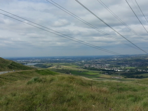
Here was my view as I started Day 12: a relaxed 85 km ride through Yorkshire, down into Manchester and then onto the Peak District as I headed southeast into Cheshire.
The route was deliberately drawn mostly downhill so I could recover from my Tour de France attempt yesterday, speaking of which I went back to the top of the Cragg Vale ascent, and I saw painted signs on the road. ‘CAV’, ‘FROOMEDOG’ and CONTADOR’ were the ones that stood out. Look out for this stage on 6 July!
I then dropped over 200 M and smashed 50 km/h for the first time this tour as I headed down and navigated through the city of Manchester. I was rewarded with a visit to the National Cycling Centre- this is where a teenage Mark Cavendish trained in the mid 2000s. After lunch here, I then headed back out through Stockport into the Peak District, and then finally on to tonights stopover in Sutton, Cheshire.
Tonight in the bar they have played one of my favourite bands: Doves. Synonymous with Manchester, they even have a song named after the M62; so here is ‘There Goes The Fear’
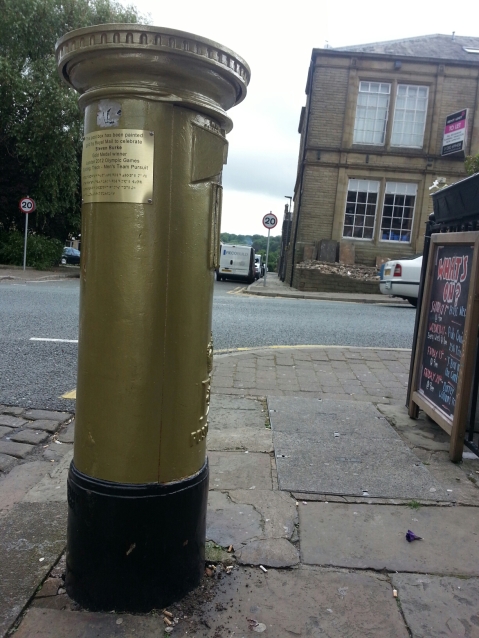
The Colne Cyclone
Steven Burke was a part of the team who won gold at the London Olympics in 2012 in the Team Pursuit- known as the ‘Colne Cyclone’ I managed to successfully seek out and track down his gold post box, painted in his honour.
Also. I’m thinking good shout for a Pointless answer in a future British olympic gold medal winners round? (Sorry Steven)
Day 11 – Allez! Allez! Allez!
Spent a wonderful evening overlooking Ingleborough from about 5 miles to the south. Thought I could see a CB (thunderstorm) poking out over the Nth York Moors miles and miles to the east, and phoned my mate in Leeds to see if he could see it too (how sad am I?)
Anyway today dawned cloudy and misty, which turned out to be a great omen because the end of the day really tired me out – more on that later. I pedalled southeast towards Settle and back into North Yorkshire. My next mission was to speed along the A65, a notorious hotspot for RTAs. I then arrived in Colne, concurrent with some light rain showers. This was the first precipitation I’ve endured for 10 days, since the drizzle in Caithness. That soon passed however, and I then attempted to climb over the high pass road that crosses the open moor and into West Yorkshire, and then finally into Hebden Bridge.
That was TOUGH, fortunately it was cool and cloudy or else I’d have been sweating like crazy! The gradient at times goes up to 1:4 (25%). I then arrived in Hebden Bridge which has gone Le Tour crazy! There are yellow bicycles hanging up everywhere, jerseys of every colour lining the street, and most surreal are the cardboard cut outs of Bradley Wiggins, who sadly won’t be racing for the title this year.
I ended the day by taking on the Cragg Vale climb which is over 8.6 km of continuous ascent and forms only a small part of Stage 2 of this year’s Tour de France. It has been my ambition to ride part of a stage, and to have the markers already on the road marking the distance to the summit (7 km to go etc), really brought it to life – this will be a stage to remember, dramatic scenery and very tough climbs!
I ended the day at the top of the climb (about 300 M up) in a nice farmhouse with its own sauna, so if you’ll excuse me, I’m going to unwind now.
